Drone data platform
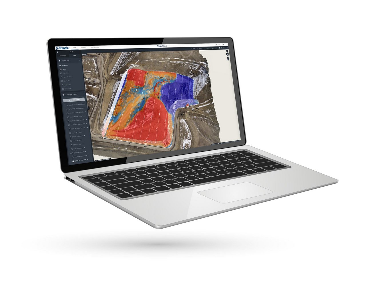
Trimble Stratus
Get a clear view of your site. With Trimble Stratus software you get accurate and continuous information about progress on the worksite and easy way to measure and manage it.
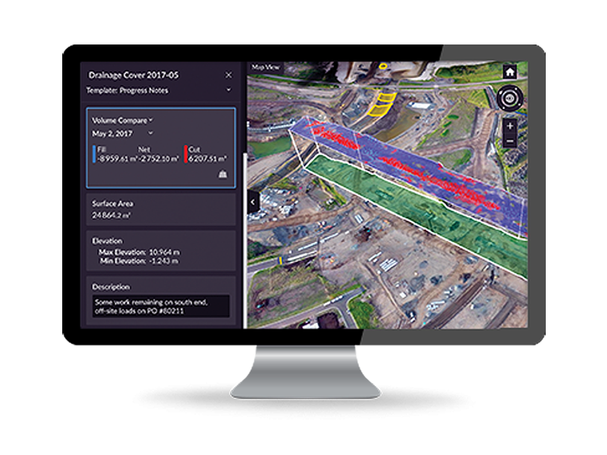
Trimble Stratus® is the drone data platform designed specifically for use in construction. It enables to process hefty point cloud data and managing effortlessly at your worksite. Share and demonstrate all the process with accurate surfaces and precise quantities.
More information
Heavy and burdensome data-processing is made ready for you in cloud-service so you can put all your focus on the construction. Map, measure and share data from large areas with Trimble Stratus® and innovative Aeropoint® platform. Do not put burden on your surveyor’s feet but upgrade your project with updated and precise data. Share the progress in browser-based map and keep your site updated.